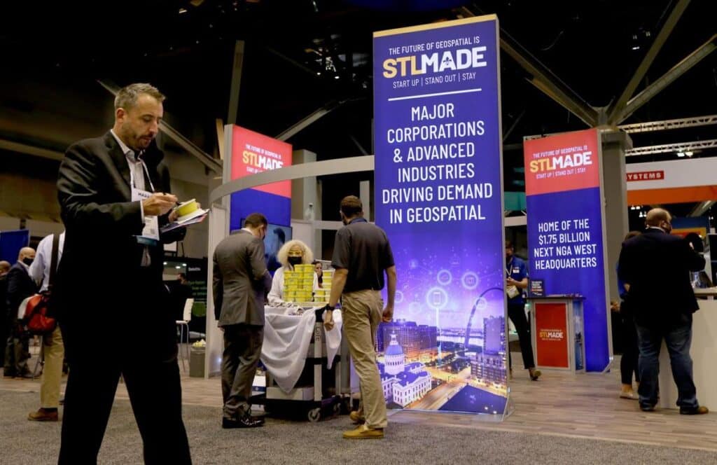
Geospatial nonprofit awards $550K to 3 projects in innovation contest
By Nathan Rubbelke – Reporter, St. Louis Business Journal | St. Louis INNO | May 27, 2026
Taylor Geospatial, the nonprofit dedicated to advancing geospatial artificial intelligence, has awarded $550,000 each to three projects focused on global food security.
Taylor Geospatial awarded the funds through its Geospatial Innovation for Food Security (GIFS) Challenge. Recipients include projects involving Washington University and the University of Missouri. The projects receiving funds are creating new tools to boost crop yield, reduce fertilizer use and improve humanitarian aid.
The GIFS Challenge seeks to support development of new tools to mitigate agricultural disruption, climate volatility and supply chain instability. Taylor Geospatial, with a mission of developing geospatial AI tools for global public benefit, said its contest is designed to help solve “one of the field’s most persistent challenges: translating advanced geospatial research into accessible, usable tools.” The three winners each will receive up to $550,000 in funding and participate in an 18-month program to advance their technologies.
“St. Louis has the talent, partnerships, and momentum to lead in geospatial innovation—but leadership comes from deployment, not just discovery,” said Rachel Opitz, GIFS program manager at Taylor Geospatial, in a statement. “These projects are designed to move beyond research and into tools that work under real-world conditions, whether that’s on a Midwest farm or in a conflict zone.”
The projects awarded funding through the GIFS Challenge include:
- A project of the United Nations World Food Programme and the Reach initiative, which provides data and analysis regarding crises, focused on using technology in Afghanistan to monitor food security. The initiative uses geospatial technology that “helps humanitarian teams anticipate crises and respond faster in high-risk environments.”
- A research team focused on using satellite data to detect “early-warning” of risk related to crop growth. The project includes involvement from Arizona State University, the University of Maryland, Washington University, NASA’s Goddard Space Flight Center and the NASA Harvest Consortium.
- A project from the University of Missouri and MU Extension using geospatial mapping to track soil water availability and optimizing fertilizer use in hopes of “boosting yields while reducing environmental impact.”
The GIFS Challenge selected its awardees among 85 teams sourced through a request for proposals. The challenge was created as a “targeted” challenge meant to advance geographic artificial intelligence for food security and is not currently structured as an annual program, said a spokeswoman for Taylor Geospatial. The contest represents how Taylor Geospatial wants to use initiatives to connect research to real-world applications, said the spokeswoman.
It formed in March as a combination of the nonprofit Taylor Geospatial Institute and the Taylor Geospatial Engine. TGI was launched in 2022 as a research consortium focused on geospatial technology with an investment from Andy Taylor, executive chairman of Clayton-based rental car giant Enterprise Mobility, and capital from its eight members – seven universities and the Donald Danforth Plant Science Center. TGE was founded about 18 months later, also with Taylor funding, to help commercialize new technologies.